New Zealand’s battle against wilding pines is one of the most pressing conservation challenges of our time. These invasive conifers - introduced for forestry and shelterbelts - have spread far beyond their intended boundaries, threatening native ecosystems across both the North and South Islands. While the species themselves are hardy and resilient, their unchecked growth is devastating: altering soil chemistry, shading out native plants, and transforming open landscapes into dense monocultures.
South Island: Alpine Frontlines
The South Island is ground zero in the fight against wilding pines. Vast tracts of tussock grasslands, alpine valleys, and high-country stations are under siege.
Unique vulnerability: Native alpine plants evolved in open, sunlit environments. Wilding pines quickly dominate, creating dark, acidic soils inhospitable to native species.
Scale of the problem: Entire hillsides in Canterbury, Otago, and the Mackenzie Basin are blanketed in pine seedlings. Left unchecked, they spread rapidly across thousands of hectares.
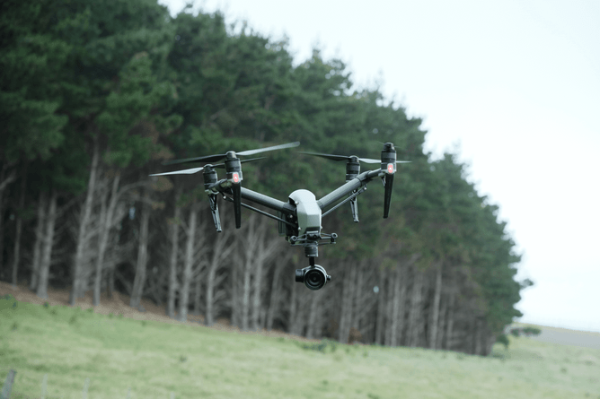
Drone advantage: In these rugged terrains, drones excel. They can fly into steep gullies and scree slopes where human crews struggle, mapping infestations with high-resolution imagery and delivering herbicide micro-doses directly to seedlings.
For South Island communities, precision drone operations are helping protect iconic landscapes like Aoraki/Mount Cook National Park and the Mackenzie Basin, ensuring alpine vistas remain open and biodiverse.
North Island: Forest Edges and Farmland
While the South Island faces vast alpine infestations, the North Island’s challenge is more fragmented but equally serious.
Forest margins: Wilding pines creep into native bush edges, threatening biodiversity in regions like the Central Plateau and Waikato.
Farmland impacts: Pines invade pastureland, reducing productivity and creating costly removal challenges for farmers.
Drone advantage: In the North Island, drones are used for precision spraying along forest boundaries and farmland edges. They reduce the need for blanket chemical applications, protecting waterways and nearby crops.
Here, specialists like TAG Droneworks provide the expertise needed to operate safely across mixed-use landscapes, balancing ecological protection with agricultural productivity.
A Unified Approach Across Islands
Despite the differences in scale and terrain, drones provide a unifying solution:
Precision mapping: Whether in alpine valleys or forest margins, drones collect data that informs long-term management strategies.
Targeted control: Micro-dosing herbicide reduces environmental impact compared to aerial drops.
Community collaboration: Drones provide visual evidence of progress, engaging iwi, farmers, and conservation groups across both islands.
Looking Ahead
The future of wilding pine control lies in integrating drone technology with predictive models. Machine learning could anticipate spread patterns, while swarm drones may cover vast areas quickly. For both the North and South Islands, this means shifting from reactive control to proactive protection.
Wilding pines may be tough adversaries, but drones are proving tougher. By tailoring strategies to the unique environments of each island - and with skilled contractors like TAG Droneworks contributing their expertise - New Zealand is forging a path toward safeguarding its landscapes for generations to come.